In Government Facilities & Asset Management operations, efficiency and data-driven decision-making are your superpowers.
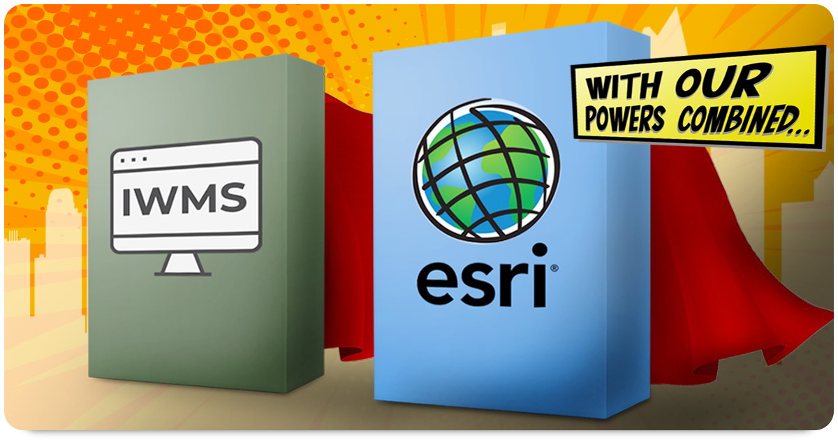
Which means selecting the right software pretty much determines just how far organizations are able to maximize their strengths. Esri's ArcGIS, a powerful Geographic Information System (GIS) software suite, is a tool that most government agencies have already adopted. However, only a handful of facilities and asset management organizations have their GIS data integrated within their IWMS. Fortunately, thanks to new technology, we are seeing a rapid adoption of this integration taking place.
Here are the top five reasons that account for the rising trend:
#1) Organized Data Turns into Knowledge:
One of the key benefits of integrating ArcGIS into an IWMS system for government organizations is the ability to visualize and analyze complex spatial data. ArcGIS allows for the creation of interactive maps and geospatial analyses, providing a dynamic platform to explore and interpret data in a spatial context. It is this spatial visualization that enables government organizations to identify patterns, trends, and correlations that may not be apparent through traditional data analysis methods. The resulting insights inform better decision-making, allowing for proactive planning and resource allocation.
#2) With Knowledge Comes Wisdom:
Esri's ArcGIS provides government organizations with a robust framework for managing and analyzing map-centric data. By integrating ArcGIS into an IWMS (or even a CMMS) system, government entities can leverage the spatial intelligence capabilities to gain valuable insights within their facilities’ vertical assets and horizontal assets. The integration allows for a deeper understanding of the spatial relationships between various assets, leading to more effective planning, efficient operations, and improved client services.
#3) Enhanced Asset Management:
With wisdom comes improved decision-making for asset management. By linking asset information with spatial data, organizations can gain a comprehensive view of their infrastructure. This perspective enables the most efficient maintenance planning, optimized asset lifecycle management, and improved allocation of resources. Facility Managers are better able to prioritize maintenance tasks, anticipate asset needs, and ensure the longevity and sustainability of their assets.
#4) Emergency Preparedness Saves Lives:
When a disaster strikes, your organization’s response time can save dollars and, more importantly, lives. Which means effective emergency preparedness is critical for government organizations. Integrating ArcGIS into an IWMS or CMMS system equips government entities with powerful tools to analyze real-time spatial data and make informed decisions during emergencies. By incorporating weather patterns, traffic information, and population density data, ArcGIS enables governments to assess risks, identify vulnerable areas, plan evacuation routes, and allocate emergency resources effectively. This integration enhances emergency response capabilities, ultimately saving lives and minimizing the impact of a crisis.
#5) Cross-Over Collaboration:
We already know that centralized data within a facilities management platform such as an IWMS significantly improves transparency and communication across departments. However, integrating your ArcGIS data within an IWMS takes the cross-departmental collaboration even further. Now various initiatives, such as urban planning, infrastructure development, and environmental management can efficiently collaborate. Leveraging spatial intelligence to address complex challenges allows several agencies to achieve overlapping goals.
The Rising Trend:
Integrating Esri's ArcGIS within an IWMS or CMMS system is proving to be a game-changer for government organizations, enabling them to harness the power of spatial intelligence. This integration empowers organizations with the ability to visualize, analyze, and interpret spatial data, leading to informed decision-making, and optimized asset management. Additionally, Esri’s suite of tools helps to enhance emergency preparedness, and response capabilities, while also promoting collaboration among different government departments. Superhero asset and facilities management organizations are awakening to the power of integrating their ArcGIS data within IWMS in an increasingly complex and interconnected world.
Related Resources:
- Facilities Management Overview
- What is the Best IWMS Software for Government?
- The State of Alaska Tackles Statewide Deferred Maintenance
- Why Capital Budgeting Software is Critical in Government Facilities
- Three Keys to Effective Space Management
- Facilities System Integration
- FacilityForce's IWMS Solution